Our Work
See Drone Technology in Action
From NDVI crop health maps to thermal livestock scans, here's what precision agriculture looks like from the air.
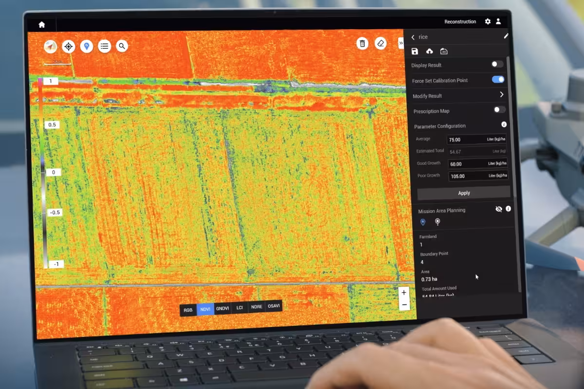
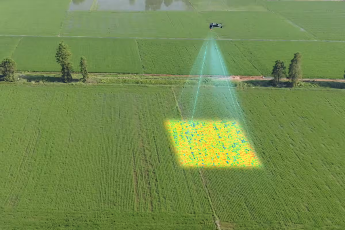
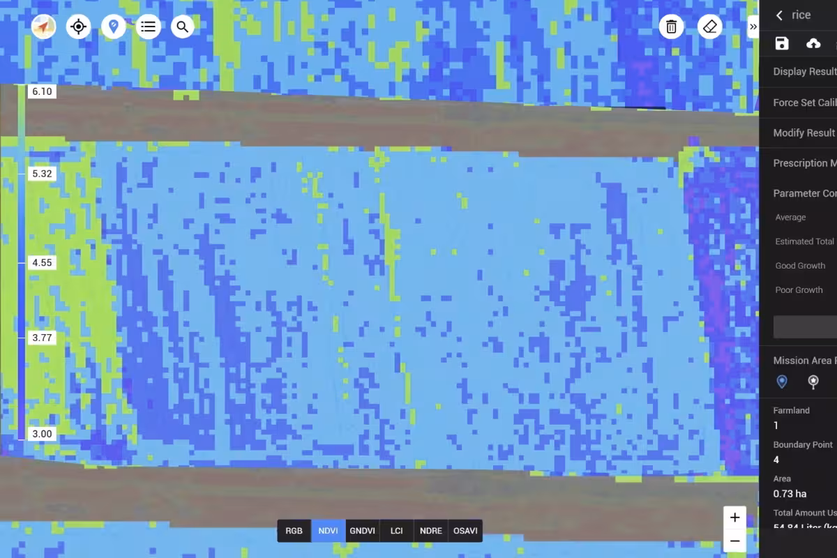
Crop Scouting & NDVI Maps
Colour-coded crop health imagery showing field variability, disease pressure, and nutrient deficiencies.
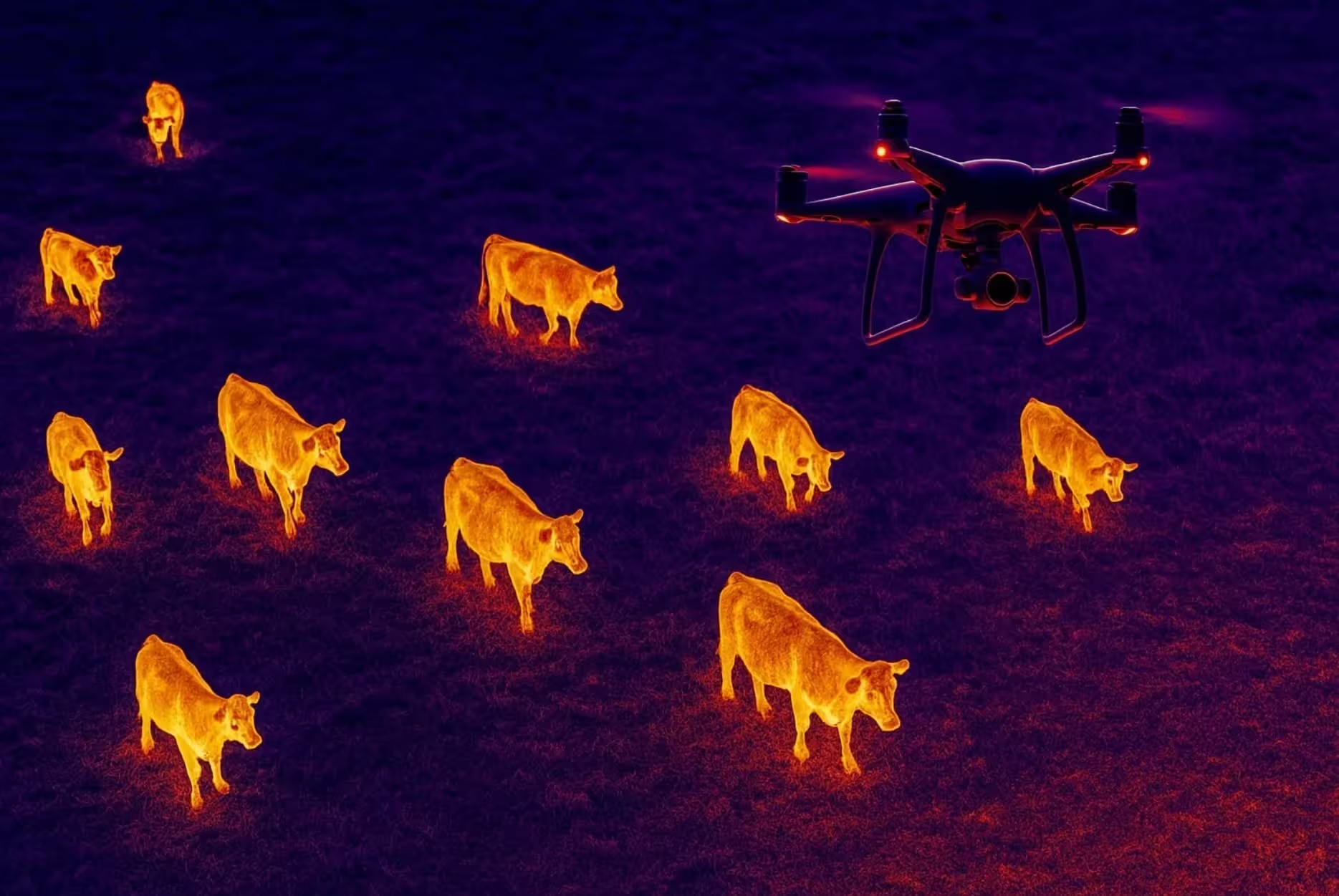
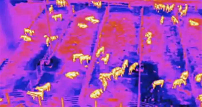
Thermal Livestock Monitoring
Heat-sensing aerial scans showing cattle locations in pasture, bush, and remote grazing land.
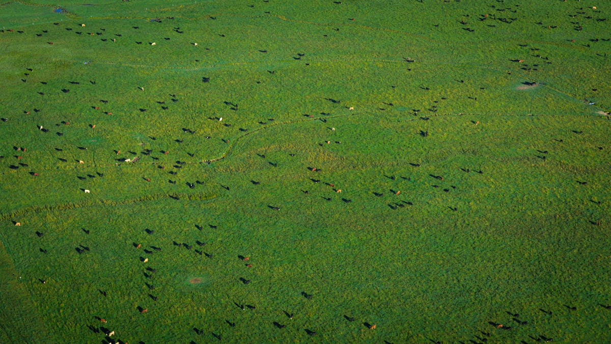
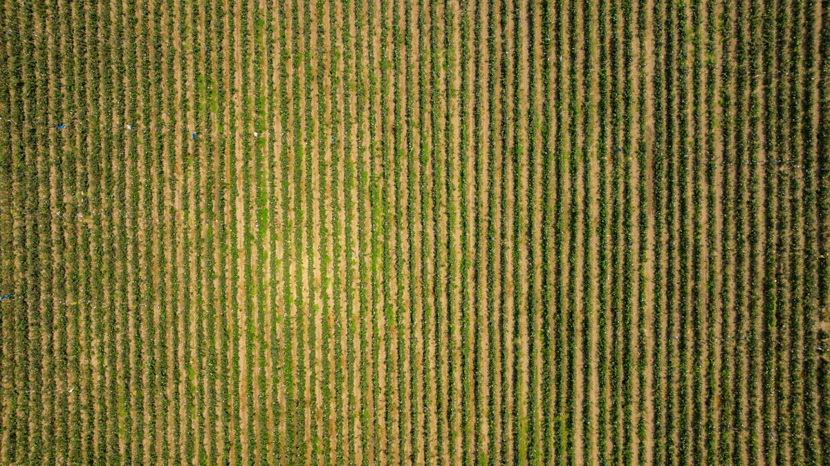
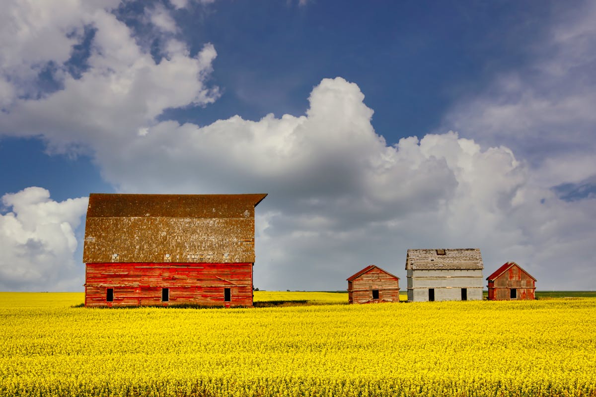
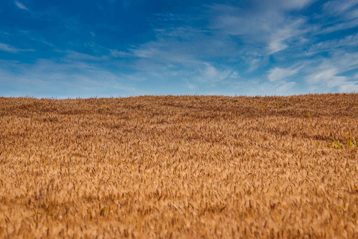
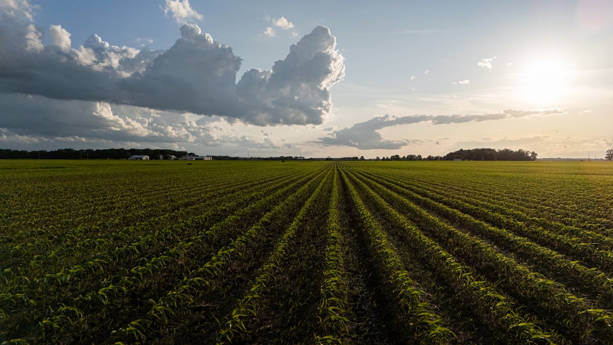
Aerial Farm Photography
High-resolution drone photos of central Alberta farmland and agricultural operations.
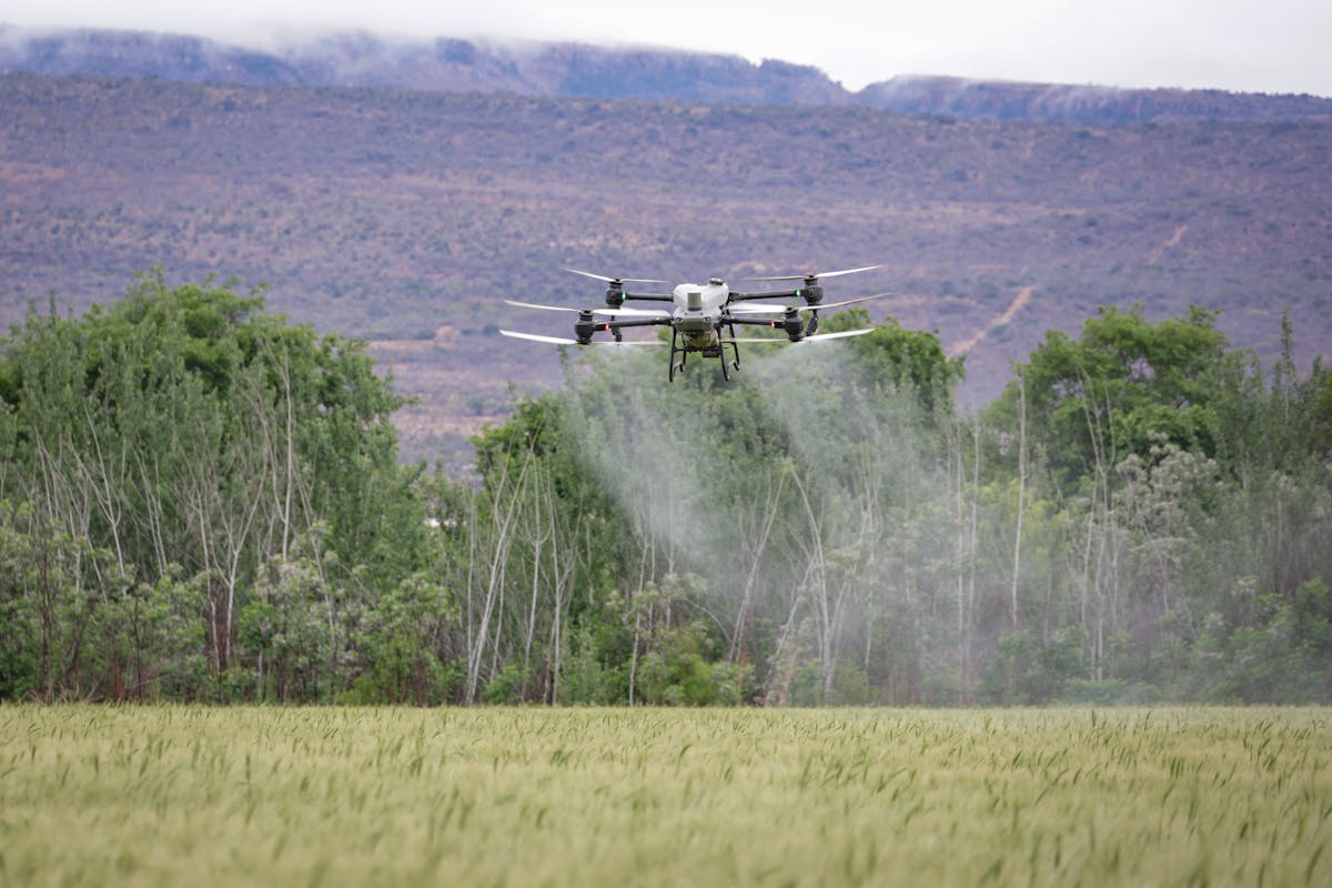
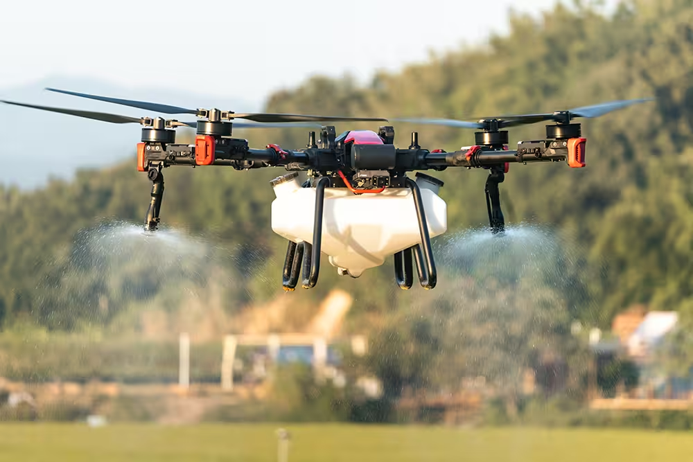
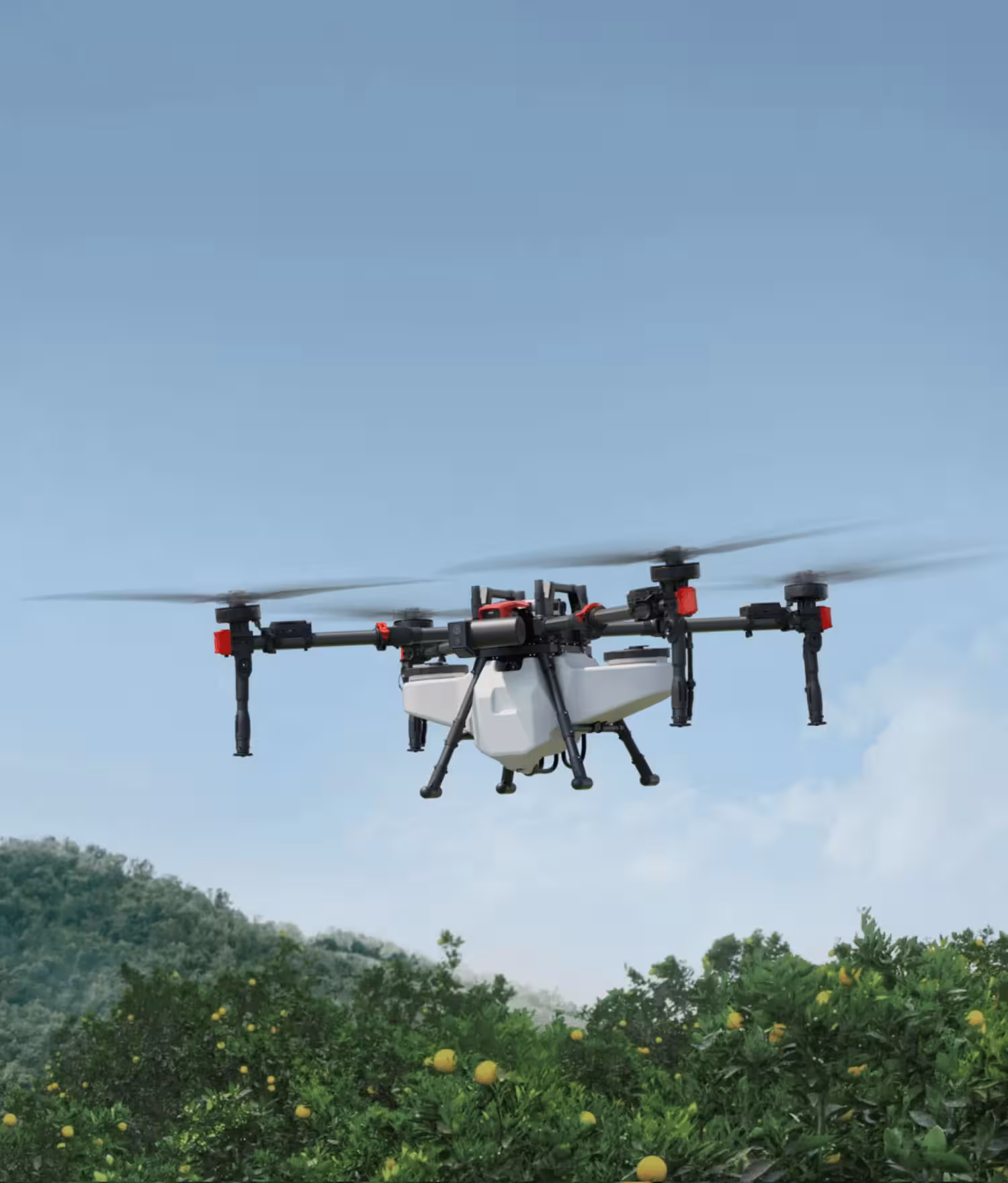
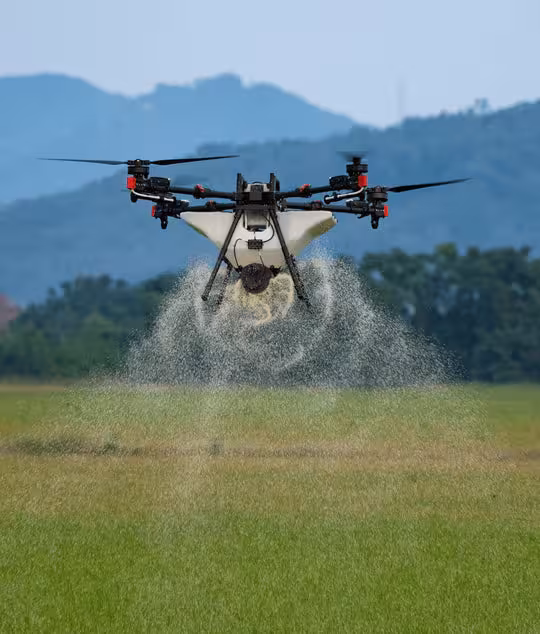
Equipment in Action
Our drone fleet at work across central Alberta farms.
Like What You See?
Book a scouting flight or demo and we'll show you what your fields look like from the air.
Book a Demo Flight