About AgHawk
Local Drone Expertise for Central Alberta Agriculture
Our Story
AgHawk Drones Ltd. is an agricultural drone services company serving central Alberta, including Red Deer, Lacombe, Ponoka, Wetaskiwin, Innisfail, and surrounding farming communities. We specialize in precision crop scouting, NDVI multispectral mapping, livestock thermal monitoring, granular spreading, and targeted drone spraying for grain, oilseed, and forage operations.
The company was founded with a straightforward idea: bring professional-grade drone technology directly to the farms that need it most.
Central Alberta farmers face challenges that traditional equipment doesn't always solve. Wet springs that keep ground rigs out of the field. Hilly terrain where coverage is inconsistent. Small or irregular fields that aren't worth booking a plane for. And spray windows that close before the aerial applicator can fit you in.
We saw an opportunity to fill that gap with precision drone services — fast, local, and targeted. Instead of blanket-spraying entire fields, we scout first to find the problems, then treat exactly what needs treating. Less chemical, lower costs, better results.
Based right here in central Alberta, we serve farms throughout the Red Deer, Lacombe, Ponoka, Wetaskiwin, and Innisfail area. When you call us, you're not waiting for someone to drive up from Calgary. We're already here.
Our Approach
Scout First, Then Treat
Every engagement starts with understanding your fields — what's growing well, what needs attention, and where your inputs will have the most impact.
Precision Over Volume
Our technology targets the specific areas that need treatment. Farmers who switch from blanket application typically see 15–30% savings on input costs.
One Provider, Start to Finish
Scouting, mapping, spreading, spraying, and documentation — all from one team that already knows your fields and your operation.
Our Equipment
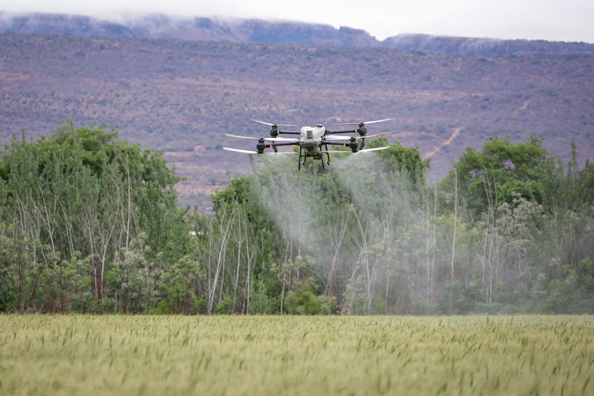
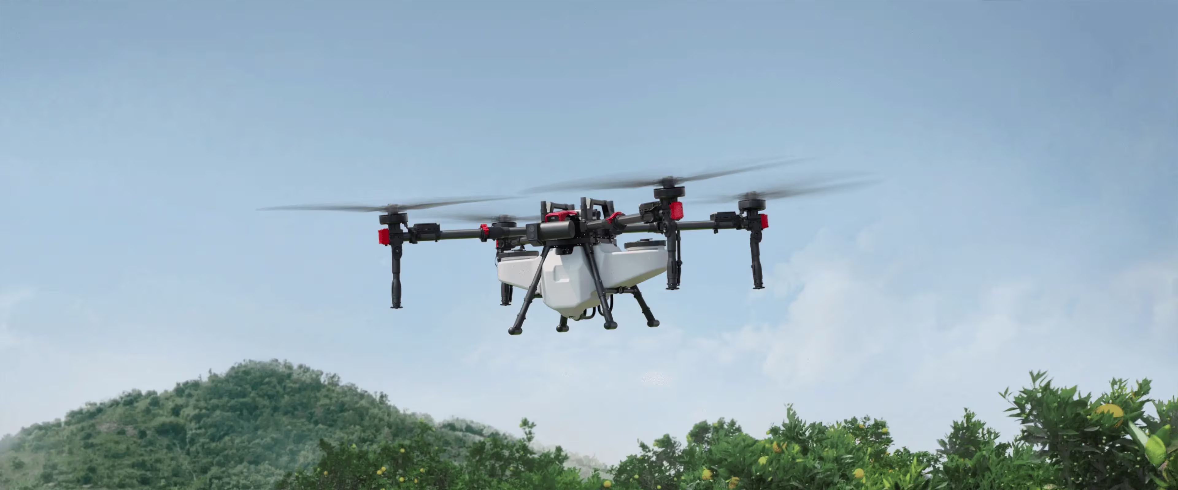
High-Capacity Ag Drone
Spray, Spread & Foliar Application
- 70 kg payload — 70L spray tank or 115L spread hopper
- Covers 60+ acres per hour on spray operations
- Centrifugal spreading system for even granular distribution
- GPS-guided flight paths with centimetre-level accuracy
- 8-minute rapid charge for minimal downtime
Multispectral Survey Drone
Crop Scouting & NDVI Mapping
- NDVI and multispectral imaging across multiple bands
- Detects crop stress before it's visible to the eye
- Same-day colour-coded field maps
- Compact for rapid multi-field deployment
Thermal Imaging Drone
Livestock Monitoring & Inspections
- High-resolution thermal and visual cameras
- Effective in low-light, early morning, and overcast conditions
- Accurate head counts without livestock disturbance
- Georeferenced thermal images for precise location data
Certifications & Compliance
Transport Canada Certified
Fully Insured
RPAS Compliant
Ongoing Training
Last updated: March 2026
Want to See What Drones Can Do for Your Farm?
Book a free demo flight or request a quote. We'll come to you.
Request a Free Quote