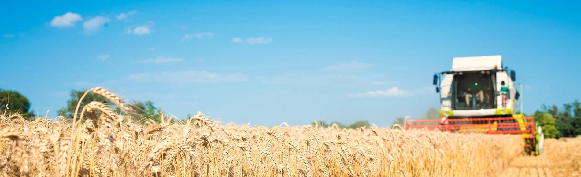
Our Services

Precision Scouting & NDVI Mapping
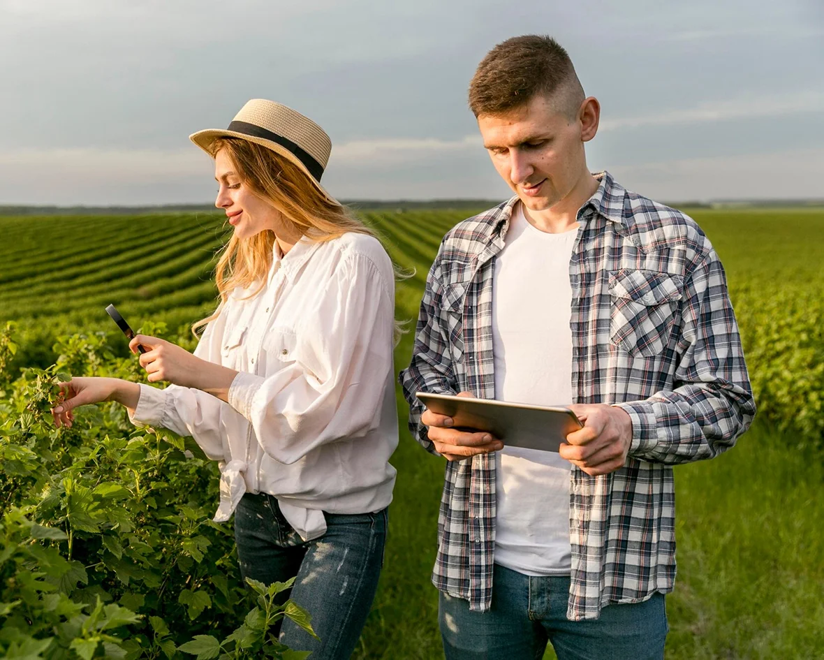
Know what's happening in your fields without walking every acre. Our DJI Mavic 3 Multispectral captures detailed crop health data across your entire operation in a single flight.
What You Get
- ✓ NDVI maps showing crop vigour across every field
- ✓ Colour-coded stress maps pinpointing disease, nutrient deficiency, and pest pressure
- ✓ Variable-rate prescription maps for targeted input application
- ✓ Same-day delivery of digital reports on your phone or computer
Best For
- ✓ Identifying fusarium, sclerotinia, or other disease pressure early
- ✓ Finding nutrient-deficient zones
- ✓ Creating variable-rate prescriptions to cut fertilizer and chemical costs
- ✓ Pre-harvest crop insurance documentation and hail damage assessment
Pricing: $6/acre for straightforward NDVI mapping on larger blocks. $9/acre for detailed multispectral analysis with variable-rate prescriptions on smaller or more complex fields. Volume discounts available for repeat or multi-pass clients.
Livestock Thermal Monitoring
Find and count your cattle in minutes, not hours. Our DJI Mavic 3 Thermal uses heat-sensing cameras to locate livestock in bush, sloughs, and remote pasture — even in low-light conditions.
What You Get
- ✓ Thermal aerial scans of pastures and grazing land
- ✓ Accurate head counts without rounding up or riding fence
- ✓ Identification of animals in distress, separated calves, or downed livestock
- ✓ Georeferenced images showing exact animal locations
Best For
- ✓ Cattle counts across remote or heavily treed pasture
- ✓ Finding calves separated from cows in bush country
- ✓ Checking herd health without disturbing the animals
- ✓ End-of-season or lease pasture head counts for inventory
Pricing: $3–$5 per head for herd counts on open or semi-open pasture. $200–$400 per farm visit for single-trip comprehensive thermal surveys. Pricing depends on herd size, terrain difficulty, and total area.
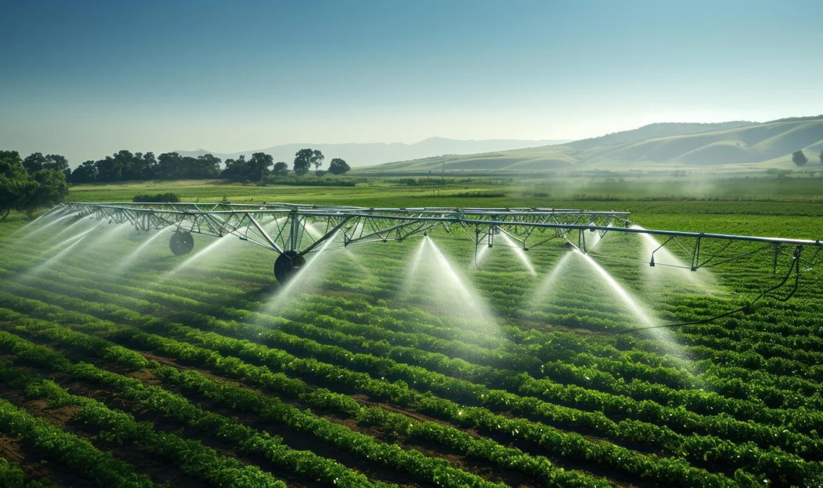
Granular Spreading
Precise aerial application of granular products where ground equipment can't go. Our XAG P100 Pro delivers fertilizer, seed, and approved biologicals with GPS-guided accuracy.
What You Get
- ✓ GPS-guided granular application with consistent spread patterns
- ✓ Access to fields too wet, steep, or uneven for ground spreaders
- ✓ Variable-rate application based on prescription maps
- ✓ Minimal crop damage — no wheel tracks, no compaction
Best For
- ✓ Spring seeding or fertilizer application on wet fields
- ✓ Cover crop seeding into standing crops
- ✓ Biological product application requiring even distribution
- ✓ Fields with irregular shapes or obstacles ground equipment misses
Pricing: Pricing depends on product type, application rate, field size, and terrain. Contact us for a custom quote.
Crop Spraying
Regulatory Note: Full in-crop pesticide, herbicide, and fungicide spraying by drone is pending Health Canada regulatory approval (PRO2026-01). This regulation is expected to be finalized mid-2026 or later. AgHawk Drones will offer full spray services as soon as approval is granted.
Targeted drone spraying gets the job done when your ground rig can't get in. The XAG P100 Pro carries 50–60 litres per load with fast battery swaps, covering 40+ acres per hour on spray operations.
What You Get
- ✓ Precision spraying targeting only affected areas — not the whole field
- ✓ Operation in wet conditions where ground sprayers are stuck
- ✓ Up to 90% less water usage compared to ground rigs
- ✓ 15–30% reduction in chemical costs through targeted application
- ✓ GPS-guided flight paths for consistent, overlap-free coverage
Best For
- ✓ Wet spring or fall when ground rigs can't get in the field
- ✓ Fungicide windows that won't wait for the field to dry
- ✓ Spot treatments for disease patches, weed escapes, and insect pressure
- ✓ Hilly or irregular fields where ground rigs miss spots
- ✓ Small acreages not worth booking a plane for
Pricing: $16–$20 per acre depending on product type, application rate, and field conditions. Volume discounts for repeat clients and bundled scout-and-spray packages.
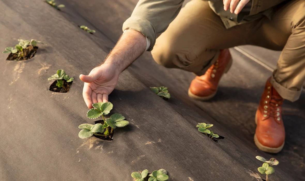
Farm Inspections & Documentation
Aerial inspections and documentation for farm infrastructure, crop insurance claims, and damage assessment. A clear view from above saves time and provides the evidence you need.
What You Get
- ✓ High-resolution aerial photos and video of farm infrastructure
- ✓ Crop insurance documentation after hail, frost, or flood events
- ✓ Fence line and water system surveys across large properties
- ✓ Before-and-after documentation for improvement projects
Best For
- ✓ Post-hail or post-storm crop damage documentation for insurance
- ✓ Annual infrastructure surveys (bins, buildings, fence lines, dugouts)
- ✓ Real estate or succession planning aerial photography
- ✓ Monitoring construction or improvement projects from above
Pricing: Pricing varies based on scope. Contact us with details and we'll provide a quote.
Ready to See Your Fields from a New Perspective?
Request a free quote or book a demo flight. We'll come to your farm.
Request a Free Quote